
 MTB tour Brig - Mörel - Furgge - Saflisch - Brig (11 October 2008)
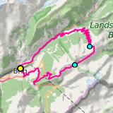 |
50 km |
| 2091 m ^ | |
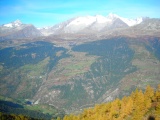 |
Bettmeralp and the Aletschhorn as seen from the slopes of the Breithorn 11-10-2008 11:20 8.1225°E, 46.3575°N, 2160m |
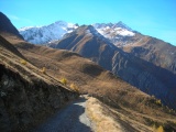 |
The Bättlihorn massif as seen from the Breithorn north slope 11-10-2008 11:37 8.1242°E, 46.3553°N, 2280m |
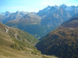 |
View from Furgge over Heiligkreuz and towards Schwarzhorn and Scherbadung 11-10-2008 12:09 8.1317°E, 46.3417°N, 2400m |
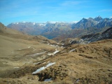 |
From Saflischpass towards Saflischtal and, further, towards Binntal, with Tanzboden on the left 11-10-2008 13:04 8.0950°E, 46.3239°N, 2563m |
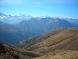 |
Mischabel and Weisshorn as seen from Fleschegga on the track towards Saflischpass 11-10-2008 13:17 8.0858°E, 46.3206°N, 2500m |
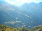 |
The Simplon road with the Saltina viaduct and, in the back, the Mischabel massif 11-10-2008 13:42 8.0614°E, 46.3086°N, 2260m |
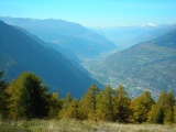 |
The Rhone Valley as seen from Saflischmatte 11-10-2008 13:46 8.0578°E, 46.3089°N, 2130m |
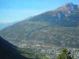 |
Brig and Gärsthorn, with Wildhorn (glacier) in the back 11-10-2008 14:22 8.0158°E, 46.3003°N, 1290m |