
 MTB Tour Mase - Col de Cou - Lovégno - Mase (CCC) (13 August 2011)
 |
Group picture at the Mayens de Praz 13-08-2011 10:03 7.4581°E, 46.1964°N, 1640m |
 |
Above Mase, with Hérémence and Thyon in front 13-08-2011 10:56 7.4714°E, 46.1983°N, 1980m |
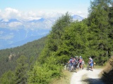 |
Between Mayens de Praz and La Louère; coming out of the forest and admiring the view 13-08-2011 10:58 7.4717°E, 46.1981°N, 1980m |
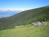 |
La Louère 13-08-2011 11:33 7.4761°E, 46.1956°N, 2150m |
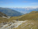 |
Col de Cou, side Mase, view towards Thyon and the Rhone valley 13-08-2011 12:27 7.4939°E, 46.2019°N, 2529m |
 |
Cent-Cols members at Col de Cou 13-08-2011 12:27 7.4939°E, 46.2019°N, 2529m |
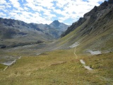 |
Val de Réchy and Becs de Bosson as seen from Col de Cou 13-08-2011 12:29 7.4939°E, 46.2019°N, 2529m |
 |
Mountainside trail starting form Col de Cou 13-08-2011 13:26 7.4972°E, 46.1975°N, 2500m |
 |
Bréchette, side Val de Réchy 13-08-2011 13:54 7.4919°E, 46.1947°N, 1540m |
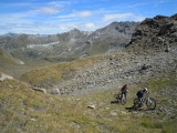 |
Climb up to Bréchette with view over Réchy valley 13-08-2011 14:04 7.4892°E, 46.1939°N, 2619m |
 |
Bréchette, view towards Val d'Hérens, Pigne d'Arolla and Mont Blanc de Cheilon 13-08-2011 14:04 7.4892°E, 46.1939°N, 2619m |
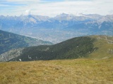 |
View over Sion from Bréchette 13-08-2011 14:05 7.4892°E, 46.1939°N, 2619m |
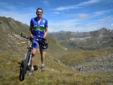 |
Patrick at Bréchette pass 13-08-2011 14:07 7.4892°E, 46.1939°N, 2619m |
 |
Arriving at Bréchette they were only eight left... 13-08-2011 14:09 7.4892°E, 46.1939°N, 2619m |
 |
Gouille de Potoc, with Becs de Bosson and Pointes de Tsavolire dominating the picture 13-08-2011 14:39 7.4978°E, 46.1900°N, 2490m |
 |
Le Louché as seen fro the climb up to Pas de Lovégno 13-08-2011 15:10 7.4931°E, 46.1767°N, 2650m |
 |
Pas de Lovégno, view towards Val de Réchy 13-08-2011 15:23 7.4900°E, 46.1761°N, 2695m |
 |
Pas de Lovégno, view towards Mont Blanc de Cheilon and Grand Combin 13-08-2011 15:24 7.4900°E, 46.1761°N, 2695m |
 |
The rocks of La Maya as seen from Pas de Lovégno 13-08-2011 15:25 7.4900°E, 46.1761°N, 2695m |