
 MTB Tour Schwanden - Matt - Risetenpass - Matt - Schwanden (20 August 2011)
 |
41 km |
| 1906 m ^ | |
 |
On the Suvarov way between Schwanden and Engi 20-08-2011 09:27 9.1217°E, 46.9953°N, 730m |
 |
The meadows of Bruch in the Chrauchtal 20-08-2011 10:27 9.2100°E, 46.9636°N, 1230m |
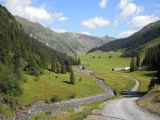 |
Winggelhütten in the Chrauchtal 20-08-2011 10:49 9.2231°E, 46.9739°N, 1440m |
 |
The Chrauchtal valley seen downwards from Riseten Mittler Stafel 20-08-2011 11:06 9.2269°E, 46.9733°N, 1560m |
 |
View towards Matt from Risetenpass 20-08-2011 12:54 9.2467°E, 46.9781°N, 2189m |
 |
Obersiezsäss and the valley of Weisstannen as seen from Risetenpass 20-08-2011 13:05 9.2467°E, 46.9781°N, 2189m |
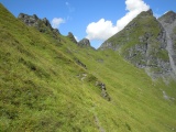 |
From Risetenpass towards Feldeggfurggle 20-08-2011 13:12 9.2461°E, 46.9792°N, 2200m |
 |
Feldeggfurggle and the rocks of the Hanen 20-08-2011 13:28 9.2441°E, 46.9826°N, 2235m |
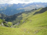 |
Feldeggfurggle, towards Weisstannental 20-08-2011 13:29 9.2441°E, 46.9826°N, 2235m |
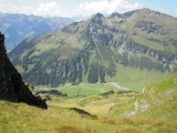 |
Crauchtal and Gulderstock as seen from Feldeggfurggle 20-08-2011 13:29 9.2441°E, 46.9826°N, 2235m |