
 MTB Tour Orsières - Col de Mille - Six Blanc - Martigny (CCC) (11 August 2012)
 |
Near Liddes 11-08-2012 09:42 7.1828°E, 45.9942°N, 1310m |
 |
The valley of the Aron torrent near Chandonne, dominated by Mont Rogneux 11-08-2012 10:21 7.1850°E, 46.0006°N, 1520m |
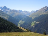 |
The Entremont valley towards Bourg-St-Pierre and further to Grand-St-Bernard, as seen from La Chaux above Liddes 11-08-2012 11:25 7.2072°E, 45.9914°N, 2150m |
 |
Tour Noir, Aiguille d'Argentière, Aiguille du Chardonnet, Grande Fourche, Aiguilles dorées, Portalet as seen from Erra d'en Haut 11-08-2012 12:15 7.2128°E, 46.0019°N, 2400m |
 |
View from col de Mille towards val de Bagnes and Verbier 11-08-2012 12:45 7.2083°E, 46.0139°N, 2472m |
 |
At col de Mille 11-08-2012 12:45 7.2083°E, 46.0139°N, 2472m |
 |
Grand Combin and Mont Vélan as seen from col de Mille, in the foreground with the path coming up from Erra d'en Haut 11-08-2012 13:00 7.2083°E, 46.0139°N, 2472m |
 |
La crest from Mont Brûlé towards Tête de la Payanne 11-08-2012 14:02 7.2011°E, 46.0181°N, 2550m |
 |
Mont Dolent, Tour Noir and Aiguille d'Argentière as seen from Basset (between Mont Brûlé and Tête de la Payanne) 11-08-2012 14:16 7.1992°E, 46.0283°N, 2365m |
 |
Mont Rogneux as seen from Basset 11-08-2012 14:18 7.1992°E, 46.0283°N, 2365m |
 |
View from col de Chargerat towards val de Bagnes and Verbier 11-08-2012 14:52 7.1919°E, 46.0369°N, 2340m |
 |
View to the south-west from col de Chargerat, with both Ferret passes in the middle (grand and petit col de Ferret) 11-08-2012 14:52 7.1919°E, 46.0369°N, 2340m |
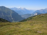 |
View from col du Six Blanc towards Dents du Midi 11-08-2012 15:04 7.1886°E, 46.0439°N, 2230m |
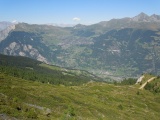 |
Verbier as seen from col du Six Blanc 11-08-2012 15:05 7.1886°E, 46.0439°N, 2230m |
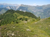 |
Plan de la Coutille (crest north from the Six Blanc) 11-08-2012 15:34 7.1828°E, 46.0511°N, 2150m |
 |
At the col des Veyses 11-08-2012 15:47 7.1828°E, 46.0586°N, 2028m |