
 MTB Tour Brunnen - Gersau - Gätterli - Urmiberg - Brunnen (25 October 2012)
 |
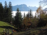
Gersau and the lake of Four Cantons under the fog 25-10-2012 11:26 8.5222°E, 46.9986°N, 610m |
 |
Rigi Hochflue 25-10-2012 12:31 8.5469°E, 47.0206°N, 1260m |
 |
Vitznauerstock and the Rigi slope 25-10-2012 12:32 8.5469°E, 47.0206°N, 1260m |
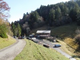 |
Gätterli Pass 25-10-2012 12:40 8.5506°E, 47.0186°N, 1200m |
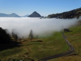 |
View from Gätterli towards Vitznauerstock, which comes out of the fog 25-10-2012 12:41 8.5506°E, 47.0186°N, 1200m |
 |
The Mythen as seen from the north slope of Rigi Hochflue 25-10-2012 12:53 8.5681°E, 47.0142°N, 1210m |
 |
Rigi Hochflue, Rigi Scheidegg and Rigi Kulm 25-10-2012 13:01 8.5758°E, 47.0131°N, 1280m |
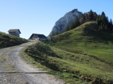 |
Alp Egg and Rigi Hochflue 25-10-2012 13:01 8.5758°E, 47.0131°N, 1280m |
 |
Rigi Hochflue as seen from Egg 25-10-2012 13:07 8.5750°E, 47.0122°N, 1288m |
 |
View to the east from Gotterli, with the Mythen, Druesberg and Bös Fulen 25-10-2012 13:15 8.5814°E, 47.0119°N, 1340m |
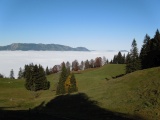 |
View from Schwand to the north, with the Rossberg coming out of the fog 25-10-2012 13:30 8.5900°E, 47.0136°N, 1200m |
 |
Schwand and Fronalpstock 25-10-2012 13:32 8.5900°E, 47.0136°N, 1200m |