
 MTB tour Schwyz - Muotathal - Tor - Bisisthal - Schwyz (8 August 2020)
 |
56 km |
| 1471 m ^ | |
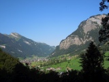 |
Muotathal as seen from the Pragel road just above the Hölloch 08-08-2020 09:45 8.7889°E, 46.9764°N, 760m |
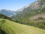 |
Kreuz on the road to the Pragel pass, with a view to Muotathal 08-08-2020 10:13 8.8117°E, 46.9872°N, 1070m |
 |
Kreuz on the road to the Pragel pass 08-08-2020 10:34 8.8225°E, 46.9853°N, 1290m |
 |
View towards Forstberg from the Bödmeren forest 08-08-2020 11:10 8.8389°E, 46.9719°N, 1540m |
 |
Bödmeren, with Roggenstöckli in the centre of the picture 08-08-2020 11:16 8.8439°E, 46.9722°N, 1580m |
 |
Flöscheggen 08-08-2020 11:24 8.8503°E, 46.9708°N, 1648m |
 |
Clariden, Chamliberg, Schärhorn and the Ruchen (Klein- and Gross-) as seen from the gravel road above Äbnenmatt 08-08-2020 11:31 8.8575°E, 46.9697°N, 1680m |
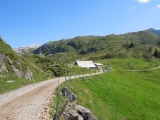 |
Tor 08-08-2020 11:40 8.8650°E, 46.9661°N, 1710m |
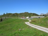 |
Tor 08-08-2020 11:55 8.8672°E, 46.9661°N, 1700m |
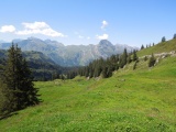 |
Sight from Tor: Schächentaler Windgällen in the background, Alpler Horn in front of it and Wasserbergfirst further right 08-08-2020 11:56 8.8672°E, 46.9661°N, 1700m |
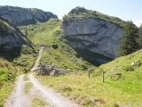 |
Torloch as seen from Tor 08-08-2020 11:58 8.8703°E, 46.9647°N, 1690m |
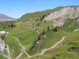 |
Torloch, north face 08-08-2020 12:14 8.8703°E, 46.9625°N, 1764m |
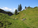 |
Torloch 08-08-2020 12:14 8.8703°E, 46.9625°N, 1764m |
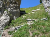 |
Torloch path on the Rätschtal side 08-08-2020 12:30 8.8703°E, 46.9619°N, 1710m |
 |
Hinterste Hütten, Rätschtal 08-08-2020 12:30 8.8703°E, 46.9619°N, 1710m |
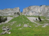 |
Torloch as seen from Rätschtal 08-08-2020 12:43 8.8717°E, 46.9600°N, 1570m |
 |
Near Mittsten Hütten 08-08-2020 13:25 8.8583°E, 46.9561°N, 1440m |
 |
The Rätschtal valley and the Wasserbergfirst 08-08-2020 13:26 8.8583°E, 46.9561°N, 1440m |
 |
Bisisthal 08-08-2020 14:26 8.8269°E, 46.9478°N, 790m |
 |
Schwyz and the Mythen 08-08-2020 15:17 8.6464°E, 46.9967°N, 540m |